Topographic Raster Maps
A raster map consists of a matrix of pixels organized into a grid, where each pixel contains a value representing spatial information.
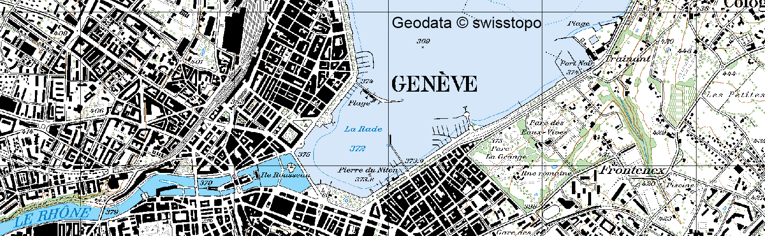
Swiss Map Raster (Pixelkarten) are conversions of the map images into digital form with no direct bearing on the individual map elements and is suitable to be used as background information for a wide variety of applications on screen, in multimedia applications and in geographical information systems. Its information is structured only in colour layers.
Here you can find all the available years and the available formats for each service.
Swiss Map Raster 25 (1:25000 with Relief)
- Years: 1952-2013
- Format: GeoTIFF
- Link to layer
Swiss Map Raster 25 (1:25000 without Relief)
- Years: 1952-2013
- Format: GeoTIFF
- Link to layer
Swiss Map Raster 50 (1:50000 with Relief)
- Years: 1938-2013
- Format: GeoTIFF
- Link to layer
Swiss Map Raster 50 (1:50000 without Relief)
- Years: 1938-2013
- Format: GeoTIFF
- Link to layer
Swiss Map Raster 100 (1:100000 with Relief)
- Years: 1954-2012
- Format: GeoTIFF
- Link to layer
Swiss Map Raster 100 (1:100000 without Relief)
- Years: 1982-2012
- Format: GeoTIFF
- Link to layer
Swiss Map Raster 200 (1:200000 with Relief)
- Years: 1988-2014
- Format: GeoTIFF
- Link to layer
Swiss Map Raster 200 (1:200000 without Relief)
- Years: 1988-2014
- Format: GeoTIFF
- Link to layer
Swiss Map Raster 500 (1:500000 with Relief)
- Years: 1999-2014
- Format: GeoTIFF
- Link to layer
Swiss Map Raster 500 (1:500000 without Relief)
- Years: 1994-2014
- Format: GeoTIFF
- Link to layer
Swiss Map Raster 1000 (1:1000000 with Relief)
- Year: 1994
- Format: GeoTIFF
- Link to layer
Swiss Map Raster 1000 (1:1000000 without Relief)
- Year: 1994
- Format: GeoTIFF
- Link to layer